 Whitehall
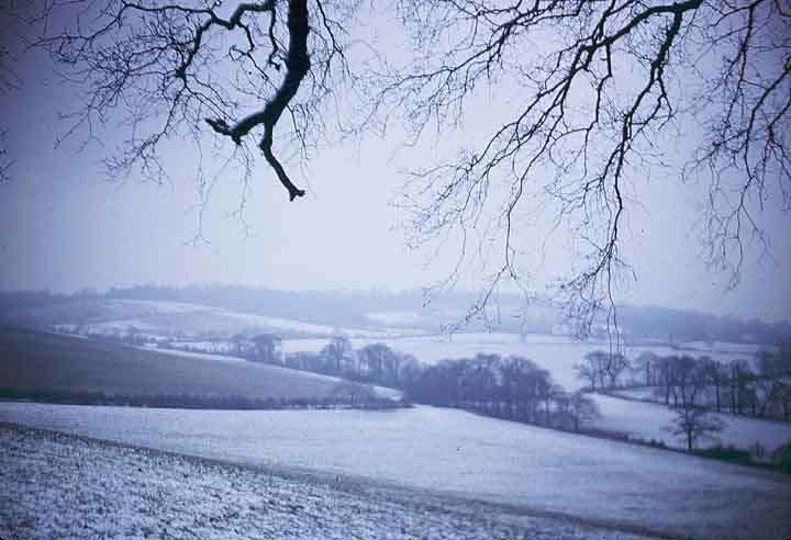
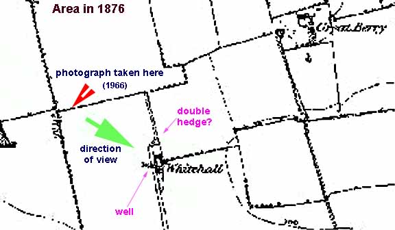
This is a view, taken in 1966, across the fields towards Crown Hill, at the edge of the field behind Coombe Cottage looking south-east. In the line of hedges can be seen a curious double hedge, suggesting a former track. This could mark the site of the former house, Whitehall, marked on the map of 1876, but demolished at some point since. It is shown as being quite an extensive property, complete with its own well.
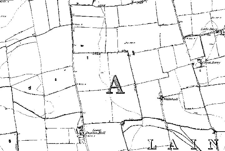
 Click on thumbnail to
view 1876 map extract showing area of picture.
Click on thumbnail to
view 1876 map extract showing area of picture.
If anyone has any information about this house, or better still a picture or photograph, please contact me!